Key takeaways
- NOAA weather records can help connect damage at your Corpus Christi property to a specific storm, date, and cause.
- The NCEI Storm Events Database is the official long-term record; National Weather Service local storm reports are faster but preliminary.
- NOAA tide gauges and National Hurricane Center reports are especially useful for surge and wind-versus-water questions on the coast.
- A nearby report does not prove damage at your property, and a missing report does not prove there was none.
- Weather data works best combined with an inspection, dated photos, and collateral damage.
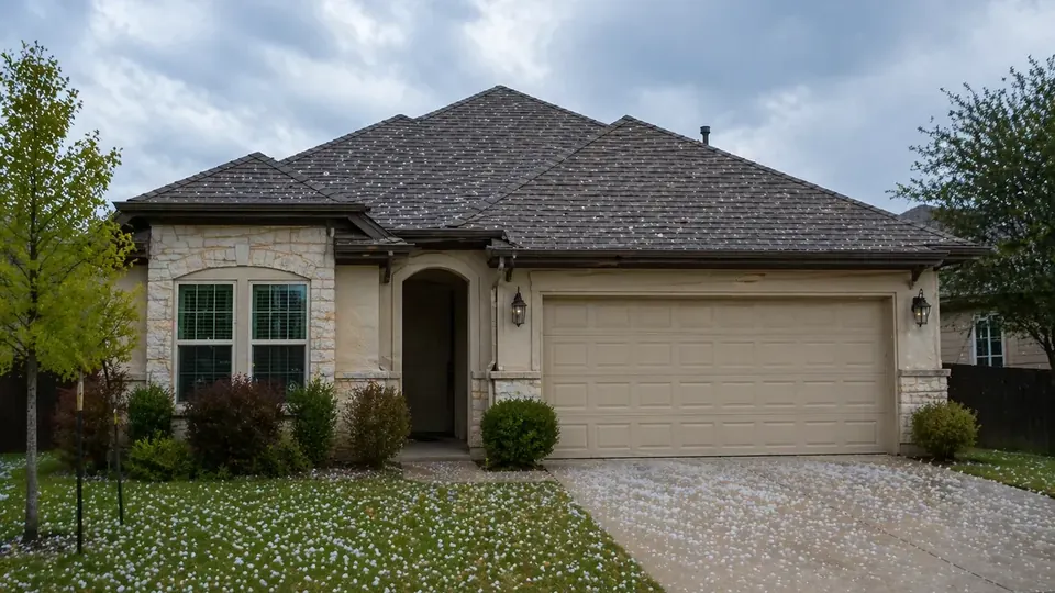
After a hailstorm, a severe thunderstorm, or a tropical system, one of the first questions an insurance adjuster may ask is simple: did a storm actually affect this property on that date? Knowing how to use NOAA weather records to document property damage in Corpus Christi helps you answer that question with evidence instead of memory. Used well, these records can support your date of loss and the cause of damage. Used carelessly, they can create confusion.
This guide explains the main public weather records, how to find reports for Corpus Christi and the Coastal Bend, how to read them, and where their limits are. It uses real examples from Nueces and nearby counties.
The main NOAA weather records for property claims
"NOAA data" is not a single source. Several NOAA offices publish storm and water data, each with a different purpose and timeline.
| Source | What it contains | Timing | Best use |
|---|---|---|---|
| NCEI Storm Events Database | Official record of significant weather by county or forecast zone: dates, times, hail size, wind speed, locations, and narratives | Added after a delay of a few months | Confirming and citing a past event |
| NWS Local Storm Reports (NWS Corpus Christi) | Preliminary reports of hail, wind damage, flooding, and tornadoes from spotters, the public, emergency managers, and instruments | Within hours or days | Recent storms not yet in NCEI |
| NOAA Tides and Currents (CO-OPS) | Water levels, tide predictions, and historical data at coastal stations | Near real time for active stations | Storm surge, tidal flooding, timing of high water |
| National Hurricane Center | Advisories during a storm, and Tropical Cyclone Reports afterward with landfall, intensity, and surge details | Advisories in real time; reports months later | Hurricanes and tropical storms |
| Airport weather observations (KCRP) | Hourly and daily observations at Corpus Christi International Airport, including temperature and wind gusts | Real time and archived | Freeze events, measured wind gusts |
The NCEI Storm Events Database
The Storm Events Database, maintained by NOAA's National Centers for Environmental Information (NCEI), is the most widely cited source for past storms. Each entry is an individual report, so one storm can produce many entries. When you cite an event, use its event detail page, which has a stable link.
Here is what a strong entry looks like. During the May 8, 2025 windstorm, an NWS storm survey estimated 115 mph winds near Driscoll in Nueces County (NCEI event 1247377). Nearby entries from the same storm describe numerous snapped power poles near Petronila with an estimated 115 mph gust (NCEI event 1249160) and a mobile home blown off its foundation in Petronila, estimated at 105 mph (NCEI event 1247382).
How to read an entry
- Event type. Hail, Thunderstorm Wind, Tornado, Flash Flood, Tropical Storm, Storm Surge/Tide, Frost/Freeze, and others. The type matters for wind-versus-water questions.
- Location. Some entries name a town or landmark; others name a county or an NWS forecast zone, such as "Coastal Nueces County" or "Nueces County Islands." Zone entries cover a broad area.
- Magnitude. Hail size in inches, or wind in knots. Note whether wind was measured by an instrument or estimated from damage.
- Narrative. The description often explains the source of the report and the damage observed.
Counts in the database are reports, not storm days. A single afternoon of hail can create a dozen entries. Keep that in mind when you read summary numbers.
Hail size references
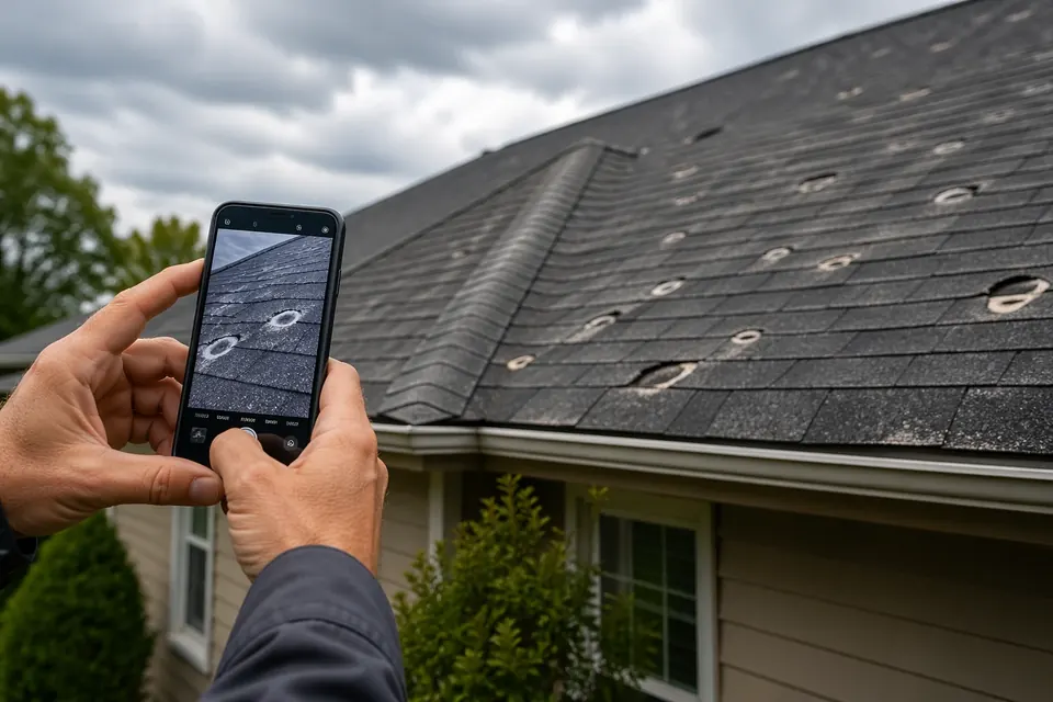
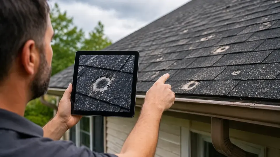
Hail reports are usually given in inches, often based on a comparison object that the observer names in the narrative. Golf ball size corresponds to 1.75 inches and baseball size to 2.75 inches. Nueces County has 28 hail reports of golf ball size or larger and 4 of baseball size or larger in the database, out of 134 hail reports in all. The largest hail in the county's records is an estimated 3-inch report at Port Aransas Airport on November 1, 2025, from the Mustang Island State Park emergency manager (NCEI event 1297578). A report of that size near your property is strong context, but the roof inspection still decides the claim.
National Weather Service local storm reports
For a storm that happened last week, the NCEI database will not have it yet. That is where NWS local storm reports help. The NWS office in Corpus Christi (ID: CRP) issues preliminary reports during and after severe weather. They are quick but can be corrected later, so note the date you retrieved them and save a copy or screenshot.
Our weather events page collects recent NWS reports for the Coastal Bend so you can see what was reported and when, and our local weather page shows current conditions and forecasts.
Tide gauges and storm surge data
On the coast, the most important question after a tropical system is often whether damage came from wind or from water. NOAA's Center for Operational Oceanographic Products and Services (CO-OPS) runs tide stations around Corpus Christi Bay and the barrier islands. Their records show when water rose and how high it got.
| Station ID | Station name | Status when checked (Oct. 2026) |
|---|---|---|
| 8775792 | Packery Channel | Water level data available |
| 8775296 | USS Lexington, Corpus Christi Bay | Water level data available |
| 8775237 | Port Aransas | Water level data available |
| 8774770 | Rockport | Water level data available |
| 8775870 | Bob Hall Pier, Corpus Christi | Tide predictions only |
| 8775421 | Naval Air Station | Listed station |
| 8775241 | Aransas, Aransas Pass | Listed station |
Storm Events narratives often quote these gauges. For Hurricane Nicholas in September 2021, the NCEI entry for Nueces County Islands reports a maximum storm tide of 2.07 feet MHHW at Bob Hall Pier, with a maximum surge of 1.53 feet because the surge arrived near high tide (NCEI event 985053). During Tropical Storm Harold in August 2023, an entry for Coastal Nueces County reports 2.6 feet MHHW at the Nueces Bay site and 2.43 feet MHHW at the Viola Turning Basin (NCEI event 1133268).
When you use tide data, record the datum (such as MHHW or MLLW), the time zone, and the station. Then compare the high water with the height of the water line at your property. Our article on wind vs. storm surge damage claims explains why that comparison matters.
National Hurricane Center reports
After each tropical cyclone, the National Hurricane Center publishes a Tropical Cyclone Report with the official track, landfall, intensity, and surge observations. These reports are authoritative but can take months to appear. For example, NHC's report on Hurricane Hanna documents a Category 1 landfall on Padre Island on July 25, 2020. For storms affecting the Coastal Bend, the NWS Corpus Christi storm history page also links to summaries of past events. Our hurricane season guide covers the advisories to watch during a storm.
Temperature records for freeze claims
Freeze claims need a different kind of weather record: temperatures. NOAA's climate data for the Corpus Christi area, based at Corpus Christi International Airport (station KCRP), is the usual reference. During the February 2021 winter storm, those records show daily record lows of 25°F on February 14, 17°F on February 15, and 19°F on February 16, with a high of only 31°F on February 15. The NCEI database also logs Frost/Freeze entries when stations report 32°F or less for at least two hours, as happened at KCRP and Robstown in late January 2026. If a pipe burst after a cold night, these records help tie the failure to the freeze. Our article on freeze damage and burst pipe claims covers that process.
Using our storm tools
We built a few tools to make these public records easier to search:
- Storm lookup searches NOAA and NWS reports near a Coastal Bend city or ZIP code so you can see what was recorded around your date of loss.
- Storm history summarizes hail, wind, tornado, tropical, flood, and freeze records from the NCEI database for the area.
- Weather events lists recent preliminary NWS reports.
These tools draw on public data and do not replace an inspection. For a deeper look at the numbers, see our article on Corpus Christi storm history.
What weather records can and cannot do
| Weather records can | Weather records cannot |
|---|---|
| Show that hail, wind, or high water was reported near your property on a date | Prove that your specific roof or building was damaged |
| Help narrow down an unknown date of loss | Replace a physical inspection |
| Support wind or surge timing on coastal claims | Decide coverage under your policy |
| Rebut a claim that "no storm occurred" | Show that a missing report means no damage |
Common mistakes with weather data
- Citing the wrong county or zone. A report for "Inland Nueces County" is a broad area, not your street.
- Mixing up time zones. Some sources use UTC or standard time. Convert before matching a report to what you saw.
- Treating estimates as measurements. An estimated gust from damage surveys is useful, but say that it was estimated.
- Relying only on counts. Hundreds of reports over decades do not prove a particular storm hit your property.
- Waiting too long. Preliminary reports can change. Save what you find when you find it.
Putting it together in your claim
- Find the reports closest to your property and date. Save the event links or screenshots.
- Note the type, magnitude, and whether values were measured or estimated.
- Match them with your dated photos and collateral damage, such as dented gutters, damaged fences, or a water line on the walls.
- Give the insurer a short written summary with links, not a stack of printouts.
As a Coastal Bend public adjuster, Corpus Christi Public Adjuster uses these records as part of a broader claim file that also includes inspection photos, measurements, and estimates. We cannot promise a result, and coverage depends on your policy. Fees are disclosed in a written contract before any work begins; Texas law caps public adjuster compensation at 10% of the insurance settlement. If you want a second set of eyes on your storm claim, request a free claim review from Corpus Christi Public Adjuster.
Frequently Asked Questions
Does a NOAA storm report prove my property was damaged?
No. A storm report shows that hail, wind, flooding, or another event was observed, measured, or estimated at a place and time. It does not prove what happened at your property. It is supporting evidence that works best alongside a physical inspection, dated photos, and damage to nearby objects such as fences, cars, and trees.
Why is there no report for my neighborhood when I know a storm hit?
Reports depend on someone observing and reporting the event, or on an instrument measuring it. Hail swaths can be narrow, storms often hit at night, and many events go unreported. A missing report does not mean nothing happened. Your own photos, neighbor accounts, and physical evidence still matter.
How quickly do storms appear in the NCEI Storm Events Database?
The Storm Events Database is not real time. New months are typically added after a delay of a few months. For a recent storm, start with National Weather Service local storm reports, which are preliminary but available much sooner.
Which tide gauge should I use for Corpus Christi water levels?
For live water levels in the Corpus Christi area, Packery Channel (station 8775792) and USS Lexington on Corpus Christi Bay (station 8775296) currently return water level data. Bob Hall Pier (8775870) was showing tide predictions only when we checked in October 2026. Port Aransas (8775237) and Rockport (8774770) also returned water level data.
Do insurance adjusters look at weather data?
Often, yes. Many insurers and independent adjusters check public storm reports or commercial weather services to see whether hail or wind was reported near a property on the claimed date. Knowing what the public records say before you talk with the insurer helps you report an accurate date of loss.
What date of loss should I put on my claim?
Use the date you believe the damage occurred, based on what you saw and heard plus the available weather records. If you are unsure, weather data can help narrow it down. Avoid guessing, because an inaccurate date can complicate the claim.
Sources and further reading
This article is general information about property insurance claims in Texas, not legal advice, and not a promise of any coverage or outcome. Your policy language and the facts of your loss control your claim.