Key takeaways
- On the Texas coast, wind and storm surge damage are often covered by different policies: TWIA (or another windstorm policy) for wind, and an NFIP or private flood policy for surge and rising water.
- Disputes start when both insurers point to the other cause, especially for interior water damage, walls, and lower floors.
- Strong evidence includes water lines, debris lines, damage patterns from above vs. below, timing, and NOAA tide gauge records.
- NCEI records show surge from Hurricane Hanna (2020) reached 2 to 4 feet above ground level along coastal Nueces County.
- Combined-cause questions can turn on policy language and Texas law. A public adjuster can help with evidence; an attorney handles legal disputes.
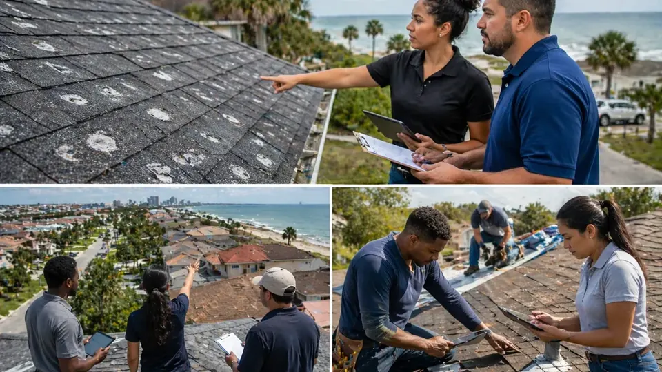
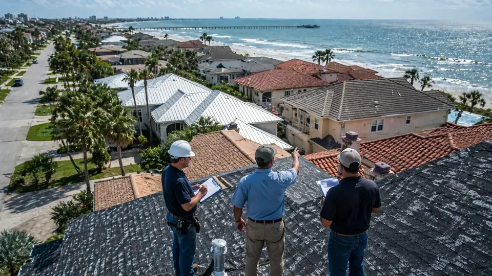
After a hurricane or tropical storm, the most common argument on the Coastal Bend is not whether a home was damaged. It is what damaged it. Wind vs. storm surge damage claims come down to cause, because the cause decides which policy responds. A torn roof and a soaked ceiling usually point to wind. A horizontal water line across the drywall and mud on the floor usually point to surge or rising water. When both show up in the same house, the windstorm insurer and the flood insurer may each argue the other should pay. This article explains why that happens and how the evidence is built, from the perspective of a Corpus Christi Public Adjuster who documents these losses.
Why wind and water claims split on the coast
Most coastal homes in Nueces, San Patricio, Aransas, and Kleberg counties sit in the TWIA catastrophe area. TWIA policies cover wind and hail only; TWIA itself says no other perils are covered. Standard homeowners policies generally exclude flood, and flood coverage comes from the National Flood Insurance Program or a private flood policy. That leaves many owners with separate windstorm and flood policies, each with its own adjuster, deductible, and limits. Our Corpus Christi hurricane damage claims guide explains this three-policy setup in more detail.
| Type of damage | Typical evidence | Policy that usually responds |
|---|---|---|
| Roof covering, decking, flashing torn off | Missing shingles or panels, creased tabs, debris scattered downwind | Windstorm policy (TWIA or private wind) |
| Rain entering through a wind-created opening | Ceiling stains below the opening, wet insulation, water running down walls | Often the windstorm policy, depending on policy terms |
| Storm surge entering at ground level | Horizontal water line, sand and silt, marine debris, damage from the floor up | Flood policy (NFIP or private) |
| Structural damage at lower levels from wave action | Punched-in walls or garage doors, displaced framing, scoured soil | Usually flood; may be disputed if wind also acted on the structure |
| Debris impact above the water line | Holes and dents high on walls or roof, tree limbs, airborne objects | Usually windstorm |
What Coastal Bend surge has looked like
Surge is not limited to the strongest storms. The NOAA NCEI Storm Events Database documents surge from storms of very different strengths:
- Hurricane Harvey, Aug. 2017. NCEI reports storm tides of 6 to 8 feet in Port Aransas as surge entered from Corpus Christi and Redfish Bays (NCEI event). In Aransas County, surge punched holes through walls and garage doors on the lower portions of most homes in Holiday Beach and Copano Village (NCEI event).
- Hurricane Hanna, July 25, 2020. Tide levels reached 2 to 4 feet above ground level in coastal Nueces County, damaging parts of the Corpus Christi Marina and numerous piers and inundating North Beach (NCEI event). On the Nueces County islands, levels reached 3 to 4.5 feet above ground and damaged Bob Hall Pier (NCEI event).
- Tropical Storm Harold, Aug. 22, 2023. Tides reached 2.6 feet above mean higher high water (MHHW) at the Nueces Bay TCOON site and 2.43 feet MHHW at the Viola Turning Basin (NCEI event). An NWS survey found 3.30 feet MHHW at Whitecap Beach on north Padre Island (NCEI event).
Harold also brought wind: NCEI records a 62 mph gust at Corpus Christi International Airport the same day. Wind and water arriving together is exactly what makes these claims hard to sort out. Our storm history page and storm lookup tool can help you find events for your area.
Building the evidence: how cause is shown
Water lines
Rising water usually leaves a horizontal line at a consistent height across walls, cabinets, furniture, fences, and exterior siding. Photograph it in every room and outside, with a tape measure in the frame showing height above the floor and above the ground. Water that came from above leaves a different pattern: stains that start at the ceiling, run down walls, and are worst under a roof or window opening.
Debris and deposits
Surge tends to leave sand, silt, seaweed, marine grass, and floating debris, often in a line (a wrack line) at the high-water mark. Wind tends to scatter shingles, panels, and limbs, and can leave impact marks above any water line. Photograph debris where it landed before it is moved.
Damage pattern and direction
Look at where damage starts. Damage that begins at the roof and works down suggests wind and wind-driven rain. Damage that begins at the floor and works up, with nothing above a certain height, suggests water. Structural damage on the side facing the bay at low levels may point to wave action; damage on the windward side high up points to wind.
Timing
When did the roof fail compared with when the water rose? Neighbors’ photos, doorbell cameras, phone videos, and texts with time stamps can all help. Timing is often where tide gauge data becomes useful.
Using NOAA tide gauge data
NOAA’s Center for Operational Oceanographic Products and Services (CO-OPS) runs water level stations around the Coastal Bend, with data at tidesandcurrents.noaa.gov. Stations near Corpus Christi include:
| Station ID | Name | Note |
|---|---|---|
| 8775792 | Packery Channel | Water level data available |
| 8775296 | USS Lexington, Corpus Christi Bay | Water level data available |
| 8775237 | Port Aransas | Water level data available |
| 8774770 | Rockport | Water level data available |
| 8775870 | Bob Hall Pier, Corpus Christi | Tide predictions only when checked in October 2026 |
For a past storm, the station record can show when water began rising, the peak level, and how long it stayed high. Two terms are worth knowing. Storm surge is the rise above the predicted tide. Storm tide is the total water level, surge plus tide. The NCEI record for Hurricane Nicholas in September 2021 shows the difference: Bob Hall Pier measured a maximum storm tide of 2.07 feet MHHW, and because the surge arrived near high tide, the maximum surge itself was 1.53 feet (NCEI event).
Gauge data has limits. It measures water at the station, not at your property, and local ground elevation, shoreline shape, and wave action all change what happens at a specific address. Use it to support your timeline and on-site measurements, not as a substitute. Our article on using NOAA weather records to document property damage covers related tools.
Combined causes: a general overview
Sometimes wind and water both contribute to the same damage. A roof can be torn open by wind while surge floods the first floor, and the interior damage can be a mix of both. Insurance policies handle this differently. Some contain language that addresses losses caused by a combination of covered and excluded causes, sometimes called anti-concurrent causation wording. How that language applies to a specific loss is a legal question that depends on the policy and on Texas law. A public adjuster can help gather and present the evidence of what caused each part of the damage, but if a claim is denied on combined-cause grounds, talk to a Texas attorney.
Practical tips for wind vs. surge claims
- File with both insurers if wind and water both reached the property. Do not wait for one to decide before reporting to the other.
- Measure and photograph water lines inside and outside before cleanup or painting.
- Document the roof and upper walls separately from lower-level damage, so each adjuster sees the damage for their peril.
- Keep a timeline with what you saw, when, and any time-stamped photos or videos.
- Compare estimates side by side. Make sure items are not left out of both, such as drywall above the water line damaged by roof leaks, or counted twice.
- Know your elevated-home limits. Many island homes are elevated. NFIP policies limit coverage for enclosures and items below the lowest elevated floor of many elevated buildings, so read that section of your flood policy.
If one insurer denies part of the loss as the other peril, ask for the reason in writing and for any engineering report it relied on. That report often explains exactly which evidence the carrier weighed, and what evidence you may want to add.
What to expect from two adjusters
When wind and flood claims are open at the same time, you will usually deal with two different adjusters working for two different insurers, sometimes on different schedules. A few things help keep the two claims from working against each other:
- Be consistent. Give both adjusters the same timeline and the same photos. Inconsistent descriptions of when or how water entered can be used to question either claim.
- Ask for each estimate in writing. Once both are issued, compare them room by room. Look for gaps, such as a wall that the windstorm estimate treats as flood and the flood estimate treats as wind.
- Keep the mitigation records shared. Drying logs, moisture readings, and tear-out photos are relevant to both claims.
- Track both sets of deadlines. A TWIA claim follows the deadlines in Texas Insurance Code Chapter 2210, Subchapter L-1, while a flood policy has its own proof-of-loss and claim requirements. Our TWIA claim process guide lists the TWIA side.
Business owners face the same split, often with more at stake: inventory, equipment, and business interruption can all depend on which peril caused the damage. Clear documentation from the start matters even more there.
How a public adjuster fits in
A licensed public adjuster represents you, not either insurer. On a mixed wind and water loss, that work may include documenting both perils, preparing separate estimates for the windstorm and flood claims, and pointing to the evidence that supports each. Corpus Christi Public Adjuster works with homeowners and businesses across Corpus Christi, Nueces County, and surrounding Coastal Bend communities, including Port Aransas and Padre Island. Fees are disclosed in a written contract before any work begins; Texas law caps public adjuster compensation at 10% of the insurance settlement. Learn more about our hurricane damage claims and flood damage claims services.
Frequently Asked Questions
Does TWIA cover storm surge damage?
No. TWIA states that its policies cover wind and hail losses only and that no other perils are covered. Storm surge and rising water are flood perils, which are generally covered, if at all, by an NFIP or private flood policy.
What is the difference between storm surge and storm tide?
Storm surge is the rise in water above the normal predicted tide caused by a storm. Storm tide is the total observed water level, which combines the surge and the astronomical tide. A surge that arrives at high tide produces a higher storm tide than the same surge at low tide.
How can NOAA tide gauge data help my claim?
NOAA CO-OPS stations around Corpus Christi Bay and the barrier islands record water levels over time. Comparing the peak water level and its timing with your observations, water lines, and the timing of wind damage can help show what happened at your property. Gauges measure water at the station, not at your house, so they support but do not replace on-site evidence.
What if both wind and flood damaged my home?
File with both insurers. Each carrier adjusts its own peril, and the estimates should be coordinated so the same damage is not left out by both or counted twice. Some policies contain language about losses caused by a combination of covered and excluded causes; how that applies is a legal question, so consult a Texas attorney if coverage is denied on that basis.
Should I clean up before the adjusters come?
Take reasonable steps to prevent further damage and protect your health, but photograph everything first, including water lines, debris, and damaged materials. Keep samples where practical. Once a water line is painted over or debris is hauled away, it cannot be photographed again.
Sources and further reading
- NOAA Tides & Currents (CO-OPS water level data)
- NOAA NCEI Storm Events: Hurricane Hanna surge, Coastal Nueces County (July 25, 2020)
- NOAA NCEI Storm Events: Storm surge/tide, Coastal Nueces County (Aug. 22, 2023)
- Texas Windstorm Insurance Association: Overview
- FloodSmart (NFIP): What flood insurance covers
This article is general information about property insurance claims in Texas, not legal advice, and not a promise of any coverage or outcome. Your policy language and the facts of your loss control your claim.